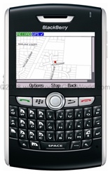
| Trimble Geocache Navigator
With the Trimble Geocache Navigator application on your GPS-enabled phone you can:
• Connect wirelessly to the world's
largest cache database at
Geocaching.com
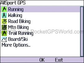
• Select caches to hunt using
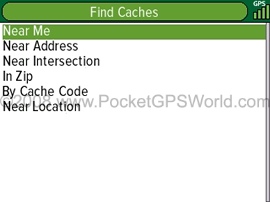
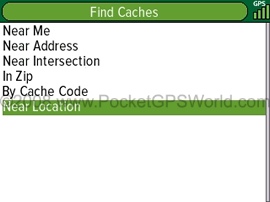
Quick Search based on your GPS
coordinates or using an advanced
mode with several search options:
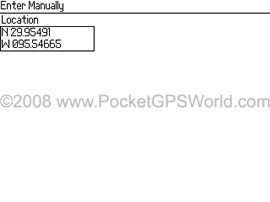
Near Address, Near Intersection,
In Zip, By Cache Code, and Near
Location
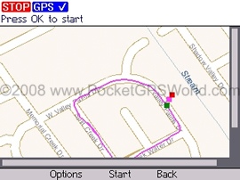
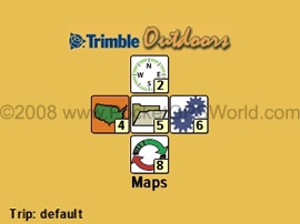
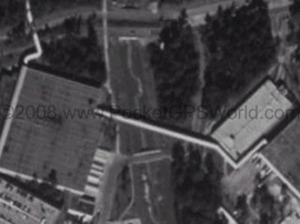
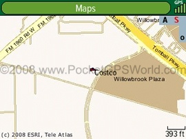
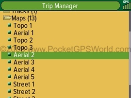
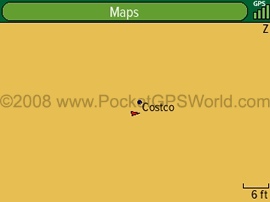
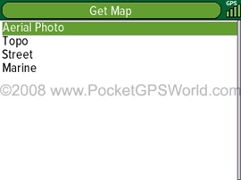
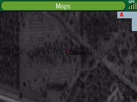
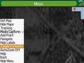
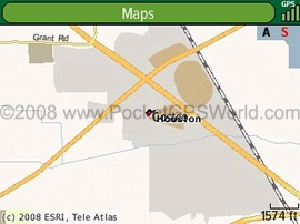
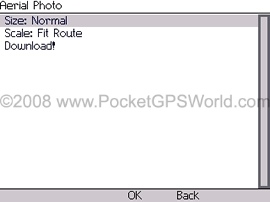
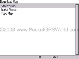
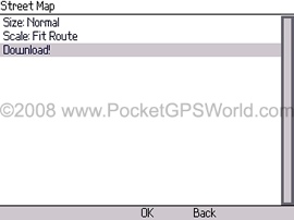
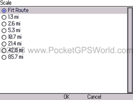
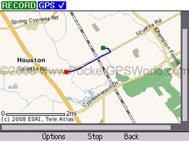
• View cache locations on
a topographic, street or
aerial map
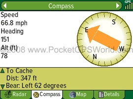
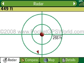
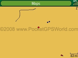
• Navigate to caches using a digital
compass or a unique radar-like
display on your phone
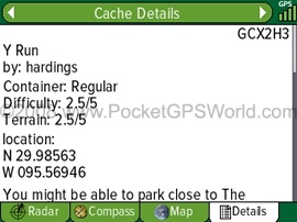
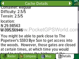
• Read cache descriptions, hints and
other users' logs from your phone
to help you find caches
• Mark caches wirelessly from your
phone as lost or found
Geocaching is not so new any more, but there are still people who haven't done it yet - including me. It is one of these occupations that make you think "why on earth?" until you have tried it the first time.
For those two of you who haven't yet heard of it - Geocaching is the sport of finding and hiding things stashed away in caches that you need to locate by coordinates and more or less helpful clues without being watched by muggles (non-Geocachers).
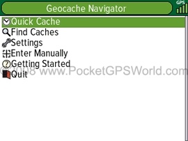
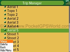
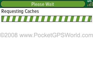
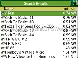
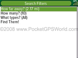
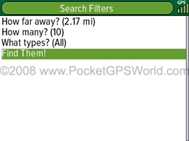
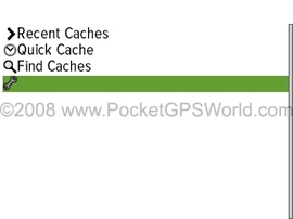
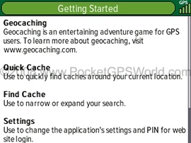
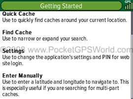
Trimble's GeoCache Navigator makes the "trying it out" part very easy. The Quick Cache option allows you to spontaneously search for a cache near you. You will be surprised just how many of them are out there.
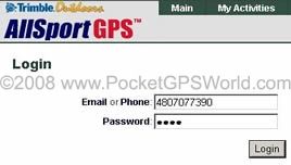
Data is fetched from the geocaching.com website (so be aware of the connection charges).
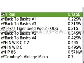
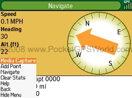
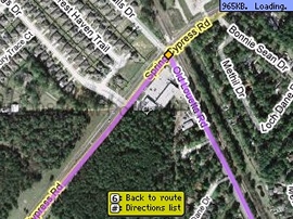
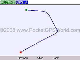
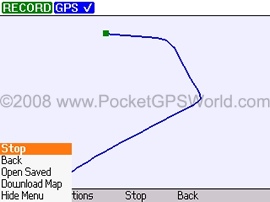
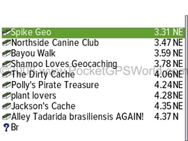
Conveniently the program will then show you the distance and general direction to the cache. If you get closer you can use the Radar view for the final approach. Alternatively you can download and display a road or terrain map.
If you cannot find the cache immediately you can then consult the Details page for hints.
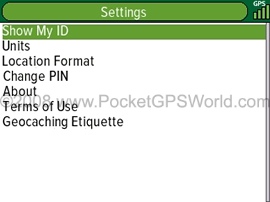
Be sure to learn about the geocaching etiquette before you attempt to locate your first one. If you take stuff out of the cache you need to put something else back in.
And as already mentioned do not get caught by the so called muggles - those are people who come by and ask "What are you doing here?" and who may interfere with your putting the cache back.
Once at the cache site you can record your success story (if you found the cache) or bring the sobering fact to the world and dog that the cache is no longer there (ie it "has been lost").
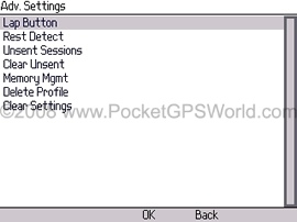
After you have mastered the beginner steps you can then use the many other functions of the Geocache Navigator to search for a multitude of weird and weirder cache variations.
Ever wondered what a Project APE cache is? Well, according to Geocaching.com, "In 2001, twelve geocaches were placed in conjunction with 20th Century Fox to support the movie Planet of the Apes. Each cache represented a fictional story in which scientists revealed an Alternative Primate Evolution. These caches were made using specially marked ammo containers. Each cache had an original prop from the movie. Only a few Project A.P.E. caches exist today."
It is interesting to see such a "fun" application on a supposedly business device. On the other hand it does make perfect sense - to give the Crackberries something else to do, and force them to actually confront nature every now and then can just be a good thing.
As I said before I am not an expert in Geocaching, but I think the Trimble Geocache Navigator covers pretty much all the required functionality to exercise that hobby, and then some. |