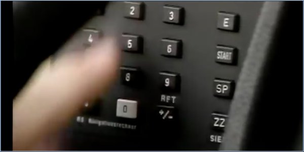
Marvel at this pre-GPS 1980's navigation prototype
Date: Thursday, April 07 @ 06:21:51 UTC
Topic:

Many of us have grown up with GPS, some of us were early adopters and survived the early versions which had laughable requirements such as having to plan a long distance journey in segments with each county being a separate map that you loaded and a journey from Hampshire to Cornwall treated like a pan-European jaunt complete with border crossings!
But that sounds positively joyous when compared to this early Mercedes nav prototype created before GPS satellites were available for use, by civilians at least.
Using it was simplicity itself, all you needed was a special paper map, divided into grids, from which you get code for your start addresses is in, the code for the address of your destination and codes from the reference book for your start and end addresses, that you find in the map codes booklet. Armed with all that you could input the data into the cars nav system and be guided to your destination. Easy peasy.
The system used magnets to sense the earths magnetic fields and guide you, the instrument panel had a simple arrow display, it had no concept of roads so it was 'as the crow flies' with the actual route decided by you.
Now go and thank the inventors of GPS for the system that prevailed or this might have been the solution we ended up with! The full video is available via the link below, FFWD to 21:48 for the nav segment.
Source: YouTube
Click here to read more...
Click here to discuss...
|
|