|
|
 |
 |
 |
 |
There are new waze in town
Article by: Lutz Bendlin
Date: 30 Sep 2009
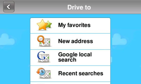
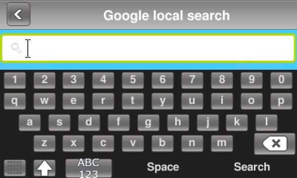
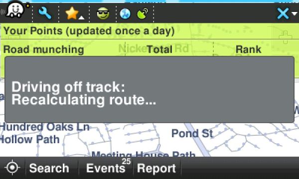
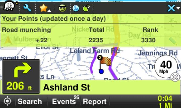
Yes, the header is a bit lame. In nice contrast the new entrant in the DIY street navigation market is anything but. Waze was recently anounced for usage in the US and Israel, and it looks like a serious competitor not just to OpenStreetMap but also to the non-free navigation packages.
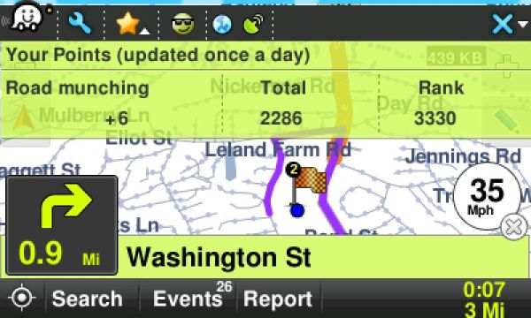
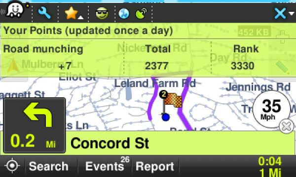
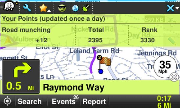
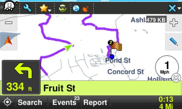
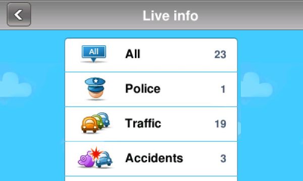
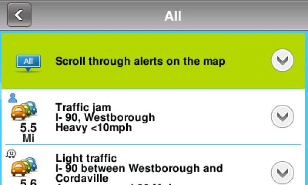
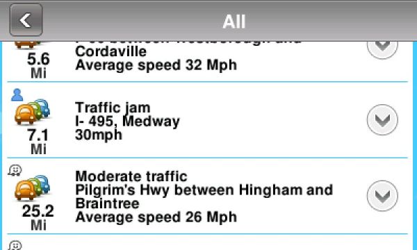
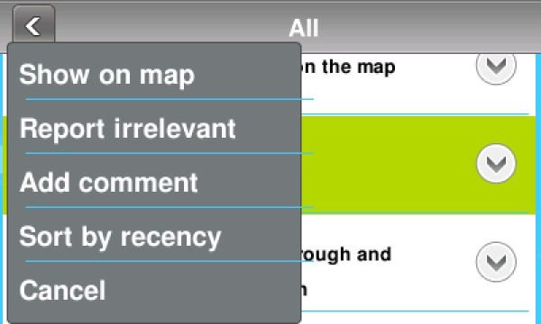
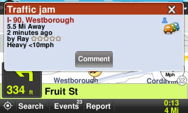
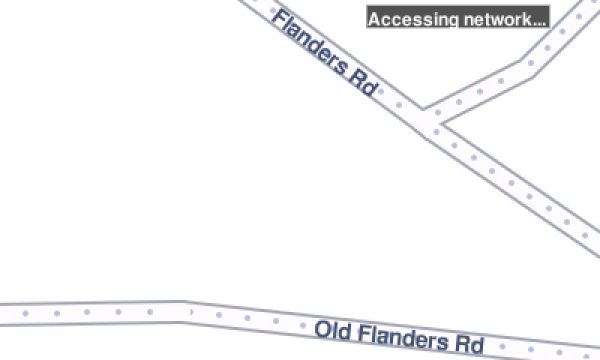
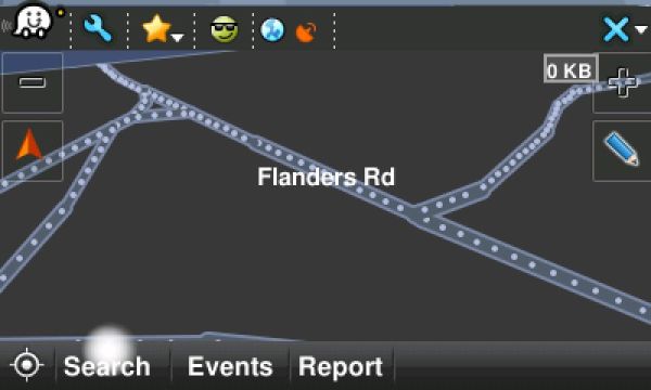
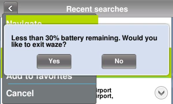
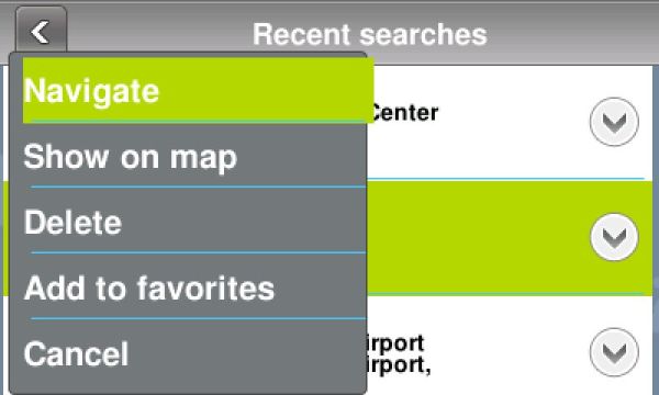
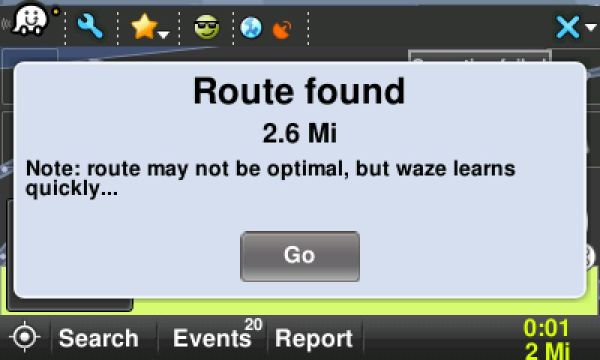
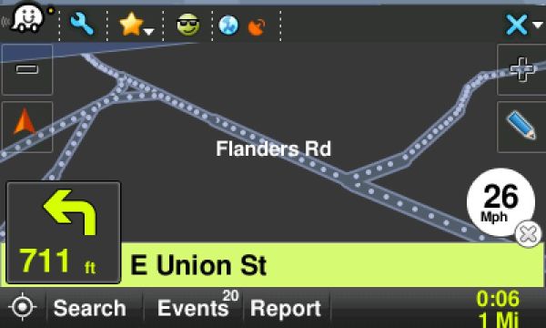
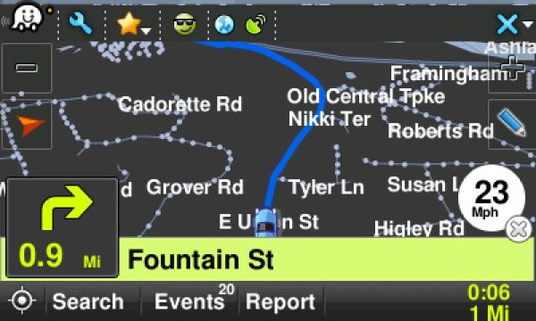
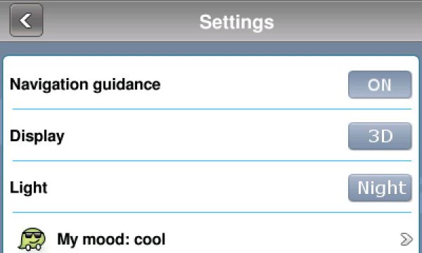
We'll test it out a bit more in the coming weeks, but to whet your appetite here are already some screenshots of the client (which is available for all major smartphone operating systems)
| Comments
|
 Posted by MaFt on Wed Sep 30, 2009 8:36 am Posted by MaFt on Wed Sep 30, 2009 8:36 am |
 |
i was actually reading about this the other day! i think i prefer the ethos behind OSM more than this though, see this thread: http://lists.openstreetmap.org/pipermail/talk-il/2009-April/000110.html
| Quote: | Waze is related to Ehud Shabtai (I think he's the CTO), who is theowner/manager of freemap.co.il, and Waze is based on the geo-data that was collected in freemap.The problem is that the data is collected and contributed by the public and the generated map is free, but not the row data behind it. In short, the maps are "driver generated" but are not "shared" and definitely not "driver owned".
We had long discussions about it before, here and at the freemap forum. Ehud refused to open the data so I refused to donate mine.
These 2 projects are running in parallel due to licenses mismatch, and will stay so as long as freemap/waze is not really free. |
i read tat as saying users can help create the maps BUT can only use the maps in waze apps. unlike OSM where any apps / websites etc can use the actual data to create their own goodies.
MaFt
|
|
| Posted by gatorguy6996 on Wed Sep 30, 2009 6:52 pm |
|
According to the Pres. of Waze here in the US, they aren't using OSM mapping and instead relied on outdated TIGER data, at least 6 years old that they are updating themselves as users report errors and omissions. But it should be noted that OSM started here with that same data source. In any case, the maps they are using in the US, whether technically OSM or not, are pretty bad.
EDIT: I didn't think to explain what TIGER data is, for those that are curious. It's map data compiled/created/supplied by the US Census Bureau. It stands for Topologically Integrated Geographic Encoding and Referencing. FWIW, the location data that's generated by the latest US Census taking place soon should actually be very good since workers will be carrying custom GPS/recording devices to set specific coordinates as forms are filled out on site. That info will be available to the mapping companies including Navteq and TeleAtlas if they choose to use it.
Garmin 1695 / 255 / 760 w/MSN - Droid w/Google nav + Navigon - Navigon 8100T - Dakota10 - GPSMap76C - GeoMate Jr. |
|
|
|
 |
|
|
 |
 |
 |
 |
|
|