
Ordnance Survey database to prevent lorry incidents
Date: Thursday, October 20 @ 08:25:24 UTC
Topic:
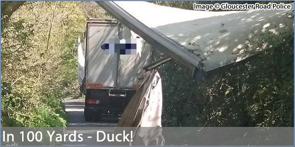
The Times reports that Ordnance Survey is to collate a definitive database of our roads which will contain information on road widths, bridge heights, weight limits and junction turn data.
It's hoped that this data will be used by satnav manufacturers in an effort to reduce the increasing number of incidents where lorries get stuck in narrow lanes, or hit bridges and cause damage to transport infrastructure.
This data won't be free though. Potential customers will have to licence the full dataset from OS but a cut down version will be available free of charge minus some of the core data.
Source: thetimes.co.uk
Click here to read more...
Click here to discuss...
|
|
