Reviewed By |
Lutz Bendlin |
 |
| Review Date |
24th September 2012 |
| Manufacturer |
Magellan |
RRP |
$150 |
|
Magellan continue to be a major player in the North American GPS device market. They have been cranking out new Roadmate products on a regular basis, most recently these (available as of September 2012):
• RoadMate 2240T-LM - 4.3 inch with Portrait Mode
• RoadMate 2255T-LMB - 4.3 inch with Bluetooth Safe Texting and Portrait Mode
• RoadMate 5245T-LM - 5.0 inch with Portrait Mode
• RoadMate 5255T-LM - 5.0 inch with Wireless Back-Up Camera Compatibility and Portrait Mode
• RoadMate 5265T-LMB - 5.0 inch with Bluetooth Safe Texting, Wireless Back-Up Camera Compatibility and Portrait Mode
Meanwhile we were busy reviewing the RoadMate 5230T-LM, basically the 5245T-LM minus the portrait mode. T stands for Traffic, and LM for - hmm. Maybe it means Landmark Guidance - the reason we were interested in reviewing the device in the first place. Apart from NNG (formerly known as Nav N Go) no other Personal Navigation Device (PND) vendor has yet offered this very functionality - the ability to include Points of Interest along the route in the navigation instructions, such as "after the post office turn left".
Actually, LM stands for Lifetime Maps. Anyhow, let's look at the RoadMate and see how it compares to the other PND offerings in the market and if the landmark navigation lives up to our expectations.
In the box

Besides the actual device you get a windscreen mount, the car USB adapter (more on that later), a regular USB cable for connection to the computer, and the documentation.

The device we tested has a 5 inch wide screen display with a resistive touchscreen (means it can be operated with gloves if needed).

Here you see the device in the windscreen mount. The 5 inch screen has the usual (if a little dated) 480x272 resolution. As you may have gathered from the previous picture the mount is purely passive
meaning that it does not have an integrated charging cable connector.

In fact it would be quite difficult to construct an active mount as the USB port is at the side of the device, rather than at the bottom.

There are some hooks at the back of the holder to help with cable management but that is only a small consolation.
The Roadmate has a battery but there are two things wrong with that feature. First, the battery is tiny, and will not even last 30 minutes (it is actually mentioned in the manual, and even though Magellan claim that to be for the 7 inch model I can confirm the 30 minutes or less of runtime for the 5 inch model too).
 
And secondly, if you run the PND on battery power you will not get traffic information. This actually allows us to deduct the source for the traffic information - indeed the car USB cable is not just a plain cable, it also includes a TMC receiver.

So there you have it - a PND that needs to be plugged in to its own proprietary cable to provide useful functionality, combined with a passive mount that requires you to manually plug that cable in and out each time you insert or remove the device. This is a rather unfortunate design choice, to say it nicely. Did I mention that you need two hands to remove the device from the holder?
User interface
As you may have gleaned already from the case shots the RoadMate runs on Windows CE 6.0 - let's just say this is not the most recent operating system, and together with the underpowered processor it provides a barely acceptable user experience. Isn't it amazing how the ubiquitous smartphones with their GigaHertz processors and HD displays have skewed the expectations towards a user interface that should be pleasant to look at AND snappy to use?
The GPS software is the only application running on top of the OS. Unlike on other PNDs there are no functions to listen to music or to browse a photo gallery etc. Focussing on the main navigation functionality is not necessarily a bad thing though.
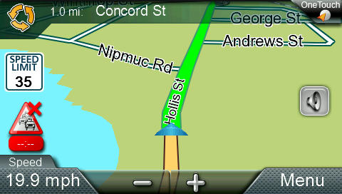
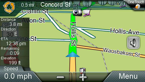
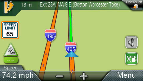
The main navigation screen has all the usual functions - to the point where you could call it cluttered. The zoom level can be temporarily adjusted (it will revert back to a preset automatic zoom level based on the vehicle speed). The bottom left display can be modified to show one of six values (although it can be tricky to select the one you want as they are rather closely grouped). You can quickly adjust the sound level, including muting the sound.
The "One Touch" option in the top right leads to a shortcut menu for some common POIs as well as your favourite destinations. Not exactly one touch, but you're good to go with two touches.

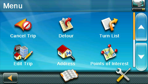
Tapping the "Menu" button takes you to the navigation options that you normally would expect after tapping the map. Not sure why "Current Location" is included in the options here. Magellan told me it is coming in handy if you are in an unfamiliar placae and are trying to tell a friend or the tow truck driver where to find you. Fair enough I guess.
If you are already navigating you get the usual options to modify your trip.
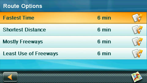
I liked the way detour options are shown including the cost of your choices.

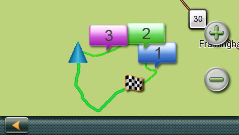
"Edit trip" allows you to plan more complex routes.
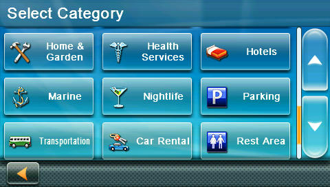
Since the "Landmark Navigation" is the unique selling point of sorts it is certainly of high importance that the list of POIs is up to date and as complete as possible. Generally I had a 80% success rate finding the POIs that I needed to navigate to. As usual you can select POIs by category or just try to find them by name (which I think is more useful, most of the time) .
 
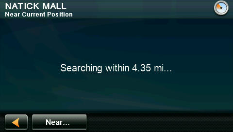
The RoadMate knows most of the big ticket POIs like the mall close to me ...
... but it also found some of the more obscure POIs like a summer camp for my ankle biters.

The RoadMate software uses an "intelligent" keyboard that adjusts the enabled keys as you type. Personally I do not like this behavior, but I have to accept that it is a perfectly valid option. When you don't find your destination on the map it doesn't really matter if you are simply unable to type it in on the keyboard, or if there are no search results after you typed it.
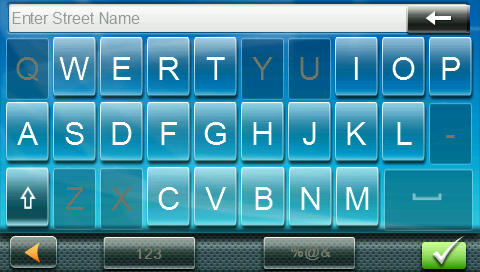
The street in question here (which starts with "Q") has existed for a few years already, but I was unable to select it as you can see. Let's hope the lifetime map updates are frequent enough to catch up with the changes in the real world.
The Landmark Navigation itself was a mixed bag. In my tests I have heard the POI announcements maybe once or twice per trip. It goes something like "In three tenths of a mile, at the Shell gas station, turn left." Or "in five tenths of a mile, after the Bank of America bank keep right." When these announcements are included in the routing instructions they definitely do add value. I would have wished that there were many more instructions linked to them. I am not sure how this data is being processed (some fuzzy logic using specific POI categories, or maybe a human review process?) but it clearly isn't used enough yet. I am looking forward to new versions of the RoadMate software that hopefully improve that feature.
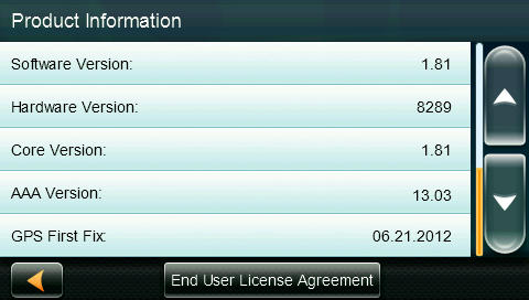
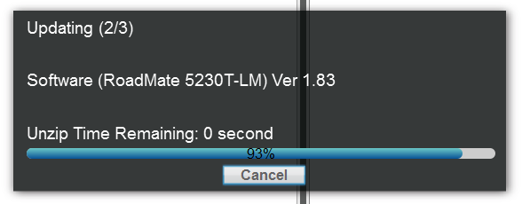
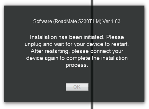
Speaking of software updates - these are pretty frequent, and they can be downloaded onto the device using the Content Manager companion software that is available for Windows and OSX. During the review period I upgraded from version 1.81 shown here to version 1.83 without problems, and I heard from Magellan that a new version is imminent.
Traffic information
Traffic information is provided via the included TMC receiver at no additional cost. You can choose to have the traffic information read to you by the Text-to-Speech lady. That option was surprisingly useful.

Note the antenna sign in the top right - in this case it indicated that no TMC data is currently available (because I hadn't connected the PND to its proprietary USB TMC cable). Tapping the symbol reveals a nice easter egg.
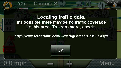
The URL above is actually pretty useful - it provides you an honest overview of what kind of traffic information you can expect for the area you are in, and who is providing the data. Generally the traffic information in my area (Greater Boston Area) was 75% accurate, but sometimes not quick enough to update for incidents that had just happened. Please check it out for your own area.

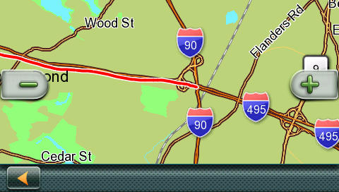
Due to the overall user interface being rather flashy, the way traffic incidents are shown on the map is suboptimal. You need to look very closely below to see the traffic incident...
It is even worse in night map mode. See if you can identify the traffic situation.
Freeway exit amenity services
When traveling on the freeway (motorway) you are likely to require some of the auxiliary services such as gas (petrol) stations, restaurants, or overnight accomodations. The RoadMate software offers a shortcut to these services whenever you are close to a freeway (motorway) exit.

Getting closer to the exit the screen will show a short list of the available services.

Lane guidance
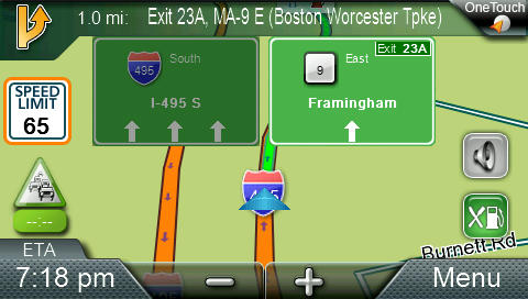
The Lane Guidance implementation is acceptable but it suffers from the same problem as other systems - when you are close to a cluster of exits there is nothing more aggravating than a stylized simplification of the map that is totally ignoring the other three possible exits nearby.

I would much rather see the actual map so I could compare the route on the screen to the layout of the roads outside of the windshield.
 
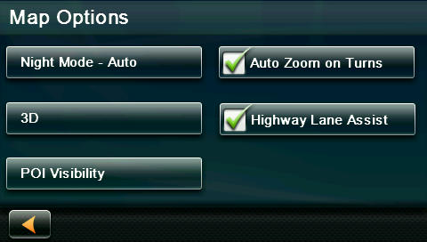
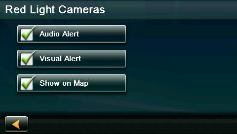
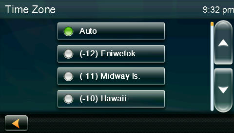
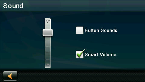
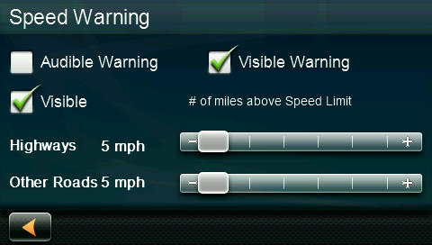
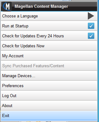
Miscellaneous Device settings
Here's a quick overview of the available menu items on the RoadMate
 
Connecting the RoadMate to a Windows or OSX computer
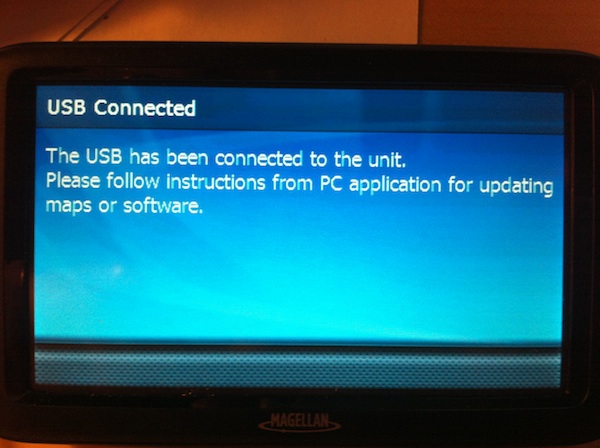
When you connect the device to a Windows PC or a Mac it will appear as a flash drive that you can explore to your heart's content. MAKE SURE TO TAKE A BACKUP before you fiddle with this.
Magellan provide a desktop program (called the Content Manager) that assists you with application and map updates. During my review I was able to test the update to version 1.81 and then to 1.83. The updates went relatively smoothly as documented below. Note: The Content Manager requires you to register the product before you can use the update services.
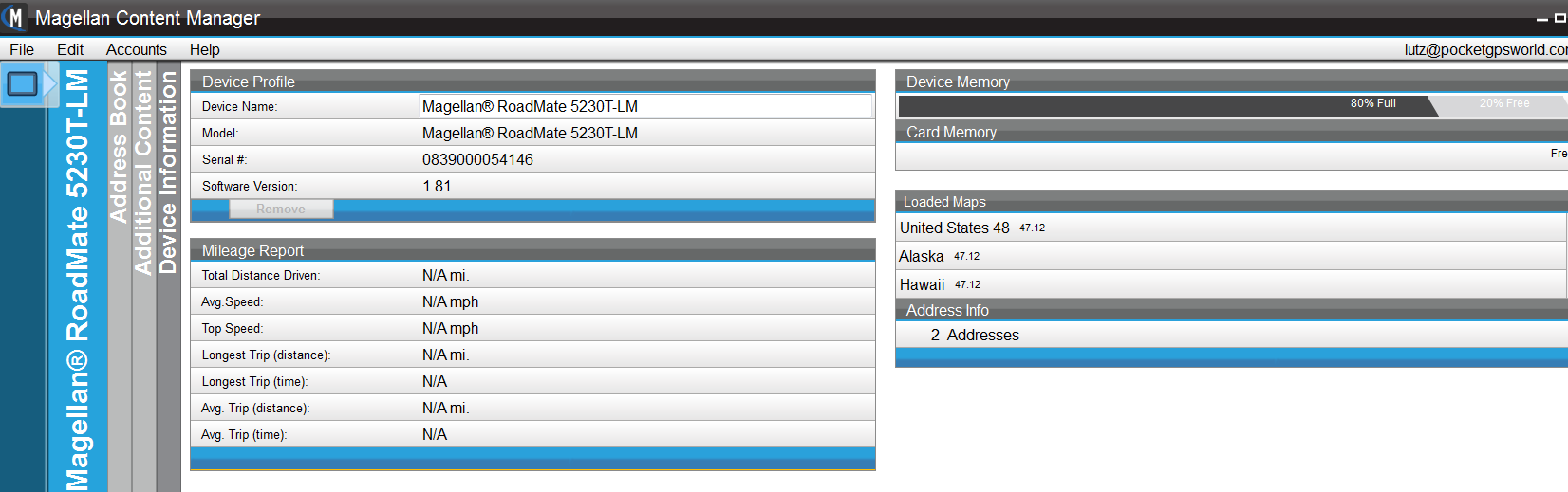
One thing I did not care for was the overly aggressive way that the Content Manager planted itself into the computer startup routine. But I guess this is a personal preference, and others may like the fact that the Content Manager is running at all times and can alert you to new updates as soon as they are available.
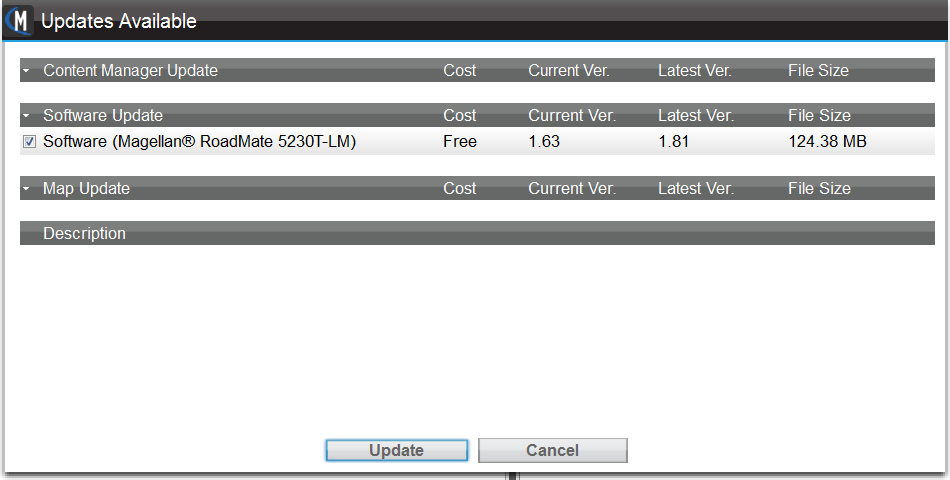
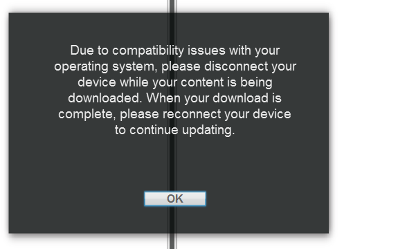
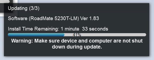
The update of the application requires a multi step process due to the underlying Windows CE operating system. Map updates can be completed in one step.
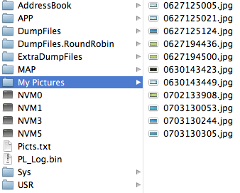
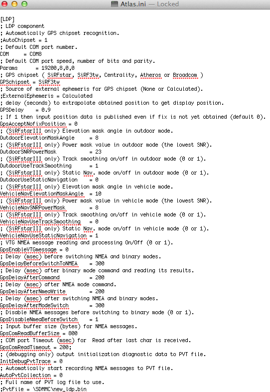
Parsing the files on the device also yielded some data on the hardware components, specifically the GPS chipset used in the device.
Generally the GPS performance was acceptable, but the TTFF (time to first fix) in the morning brought up memories of the days where you had to wait many minutes to get a GPS lock.
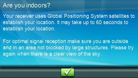
Clearly the RoadMate 5230T-LM does not use assisted GPS processes that could have accelerated the GPS locking.

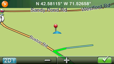
A few times the GPS would also wander off and place you in the fields next to the road you are driving on. This could be due to mapping errors, or it could be that some of the GPS factory settings are not optimal.

Conclusion
The Magellan RoadMate 5230T-LM is a good entry level navigation device. It covers most of the usual navigation functions, and adds a potentially useful landmark navigation feature that uses some POIs along the route for instructions. The device itself has a good 5 inch screen and a well manufactured case. The windscreen mount is passive, and in combination with the need to keep the USB TMC/power cable plugged in at all times makes for a unsatisfactory user experience when you have to frequently remove the device from your car.
The RoadMate 5230T-LM is available from the Magellan site as well as from Costco, Sam's Club and BJ's for USD 150. This includes both real time traffic data and lifetime map updates.
|


