|
|
 |
 |
 |
 |
EU Project Improves GPS with Internet Access
Article by: rob brady
Date: 28 Jul 2012

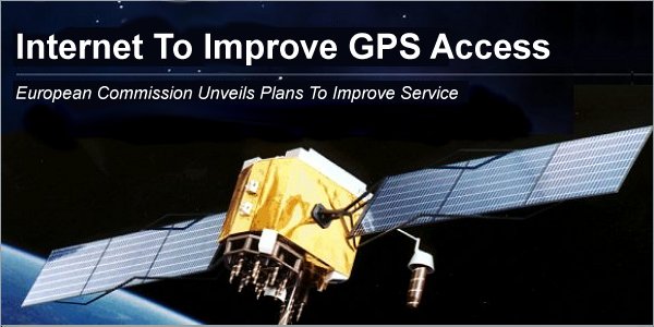
Satellite navigation could improve as the European Commission (EC) has unveiled plans to improve the service by making GPS data available on the Internet.
The project was unveiled in Brussels, where the Vice President for the EC, Antonia Tajani, claimed this demonstrated their "commitment to delivering improved services to the EU's businesses and citizens".
The new system has been entitled the European Data Access Service (EDAS) and it is hoped that this will improve the reliability of satellite navigation throughout Europe.
This will be achieved by making GPS data accessible via the Internet. This means that if a satellite signal is unobtainable due to obstructions or disturbances, then navigation will be unaffected.
Services which deal with sensitive or time-centric matters, such as fleet management, road-tolling, inland waterway navigation and the transportation of dangerous goods, are expected to benefit most from the EDAS system which will be offered as a commercial service for the European Geostationary Navigation Overlay Service (EGNOS).
Source
| | |  |
| Comments
|
 Posted by Jellyroll on Sat Jul 28, 2012 5:34 pm Posted by Jellyroll on Sat Jul 28, 2012 5:34 pm |
 |
I must be missing something here. I don't see how the Internet can know where I am, so don't understand how making GPS Data available over it can be of any help.
Smart phones can already use triangulation between cells to get an approximate fix on their location, without any need for an Internet connection.
Is it April 1st?
|
|
 Posted by worried on Sat Jul 28, 2012 6:35 pm Posted by worried on Sat Jul 28, 2012 6:35 pm |
 |
I agree, there are several programs that claim to know where you are, I haven't found one yet that gets any where near
My internet signal go through a server in Docklands and then up to Sheffield, my address could be anywhere in the UK and all (or most) go through the same servers
|
|
 Posted by MikeB on Sun Jul 29, 2012 8:15 pm Posted by MikeB on Sun Jul 29, 2012 8:15 pm |
 |
This item is slightly misleading. It is not the GPS signals that will be available over the Internet, but the corrections to the timing of the GPS signals.
Typically there is either 1 or 2 visible Geo-Stationary Satellites that transmit correctional signals to the GPS timing obtained from the 24+ GPS Satellites, it is this data that will be available over the Internet. This service is known by a number of acronyms: SBAS, WAAS, EGNOS or Differential GPS. Essentially it is generated by a ground based station that compares the GPS data to it's actual location and provides the correctional information bringing the accuracy of the device down from 10M to about 3M.
As there is normally only one of these correctional satellites in view at any one time it is entirely possible that there may be times when a unit may not receive the data from it, or that the coverage is not strong in a particular area. The Internet based solutions will overcome this.
Mike Barrett |
|
 Posted by aj2052 on Sun Jul 29, 2012 11:59 pm Posted by aj2052 on Sun Jul 29, 2012 11:59 pm |
 |
Ah,So a signal over the internet is more reliable than my satelite signal when i am travelling down th M1, very interesting?.
But then i suppose i could navigate round the house better.
Moto G5s Plus, Sygic 17.4.8 |
|
|
|
 |
|
|
 |
 |
 |
 |
|
|